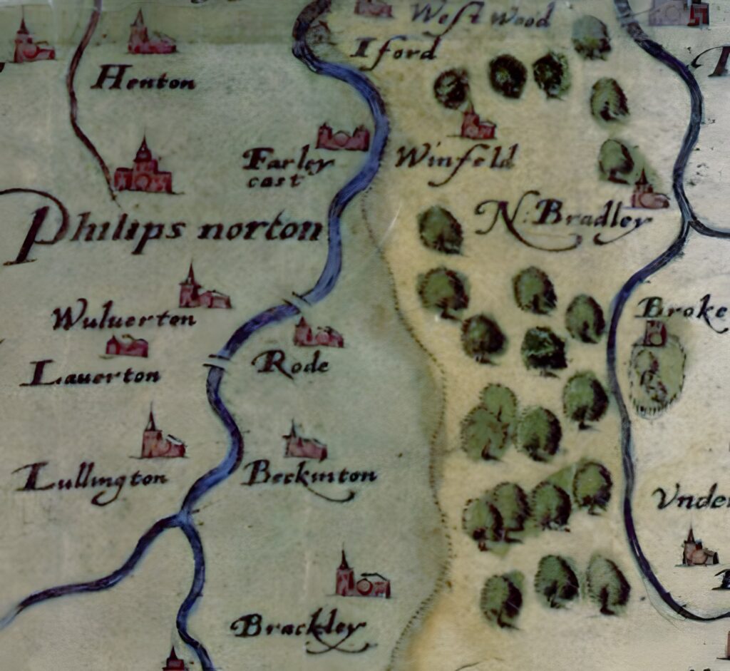
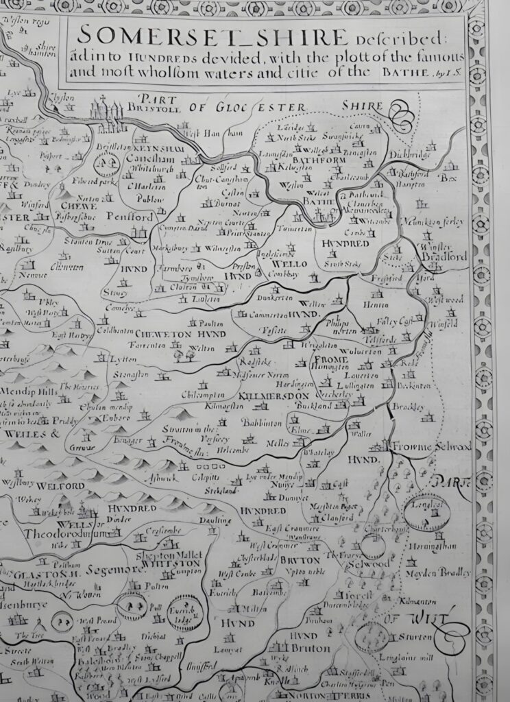
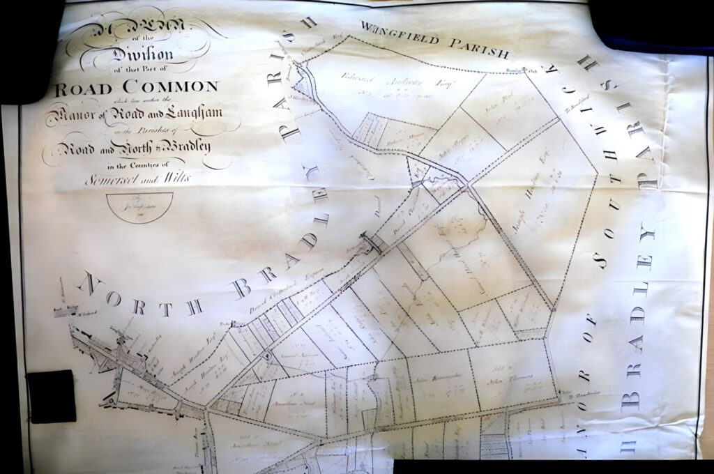
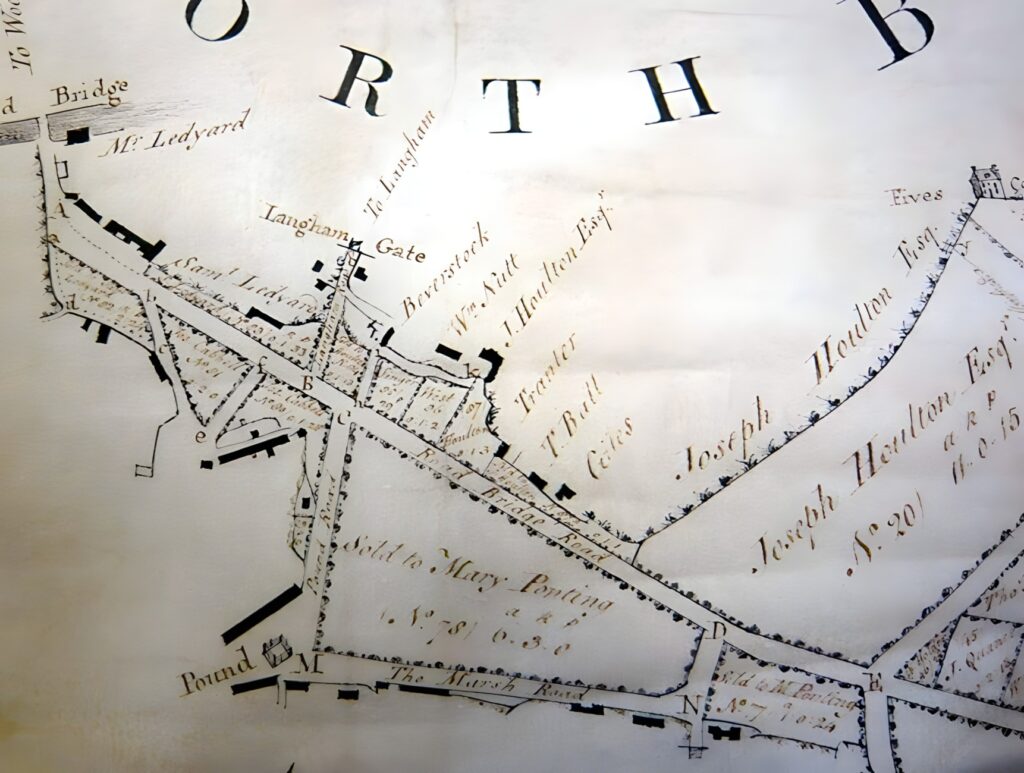
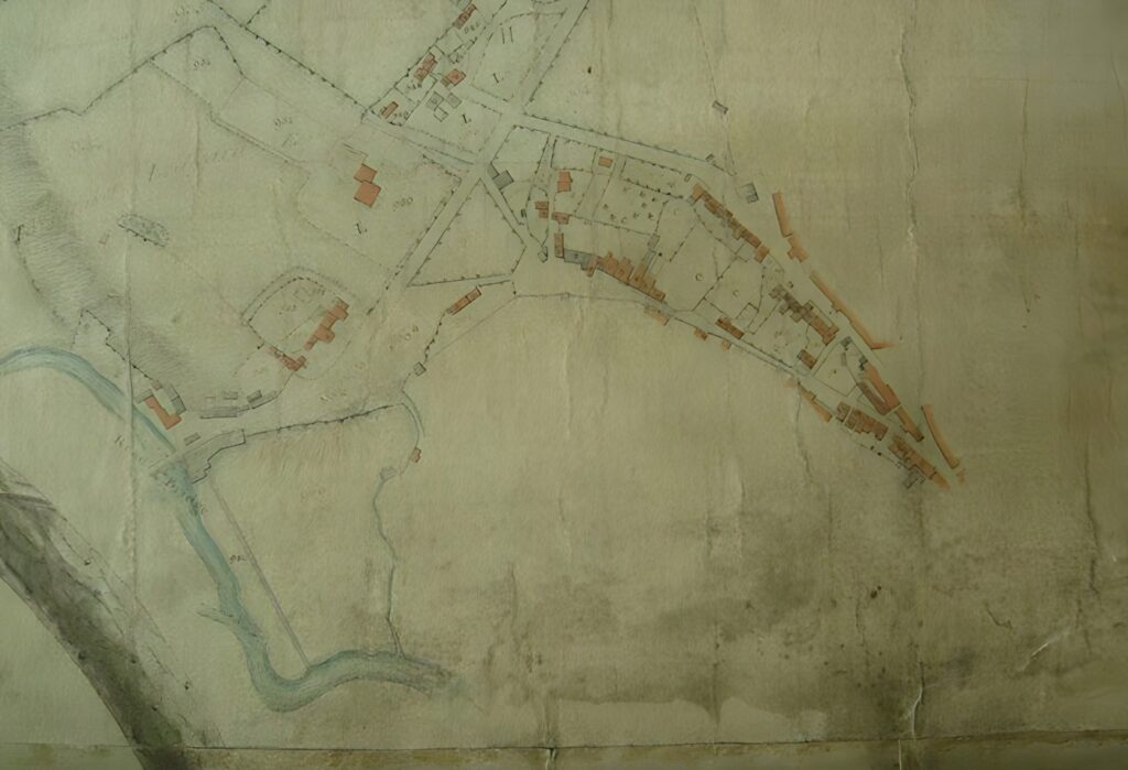
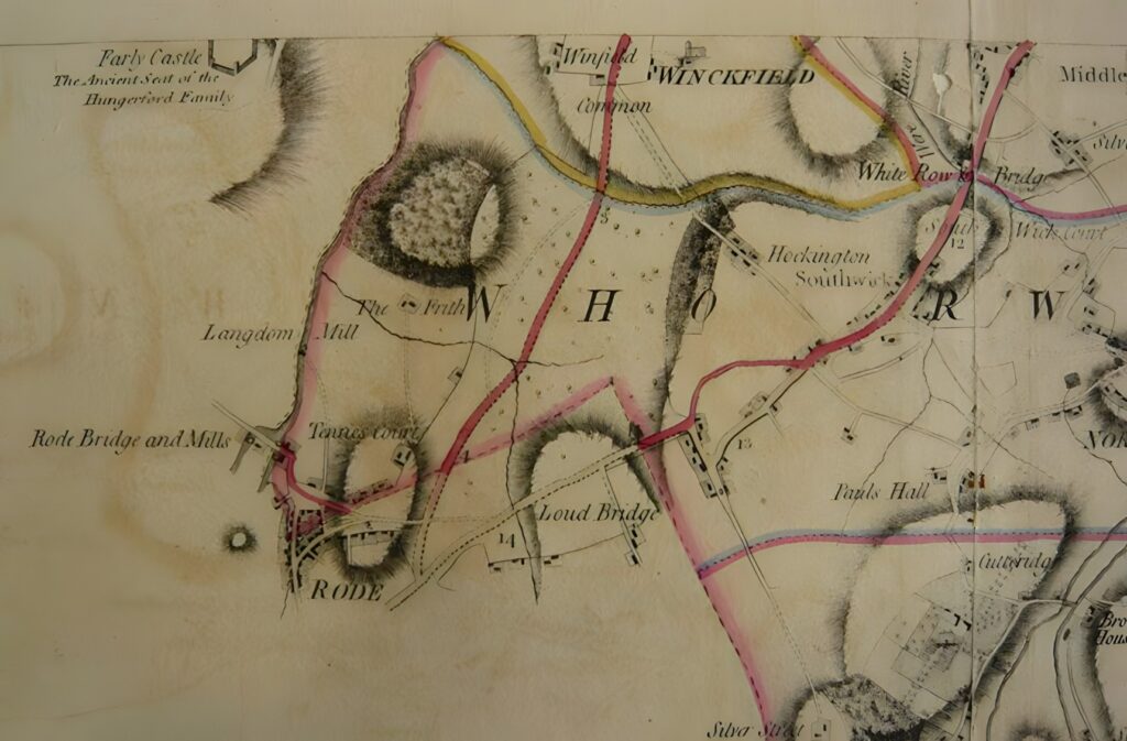
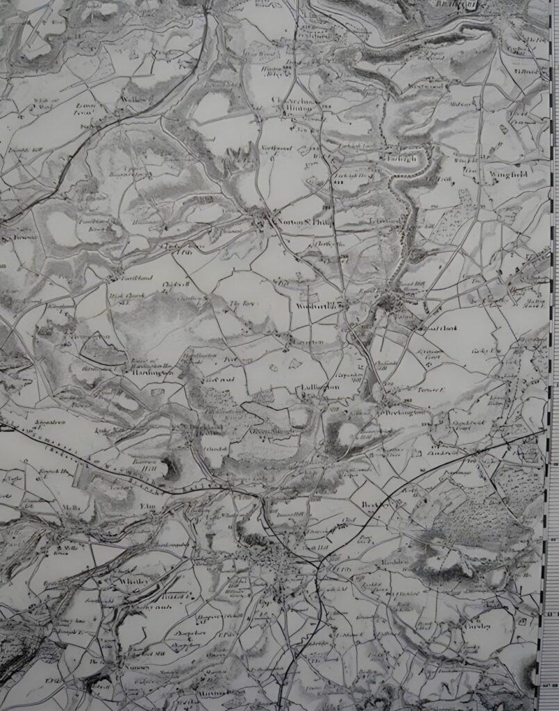
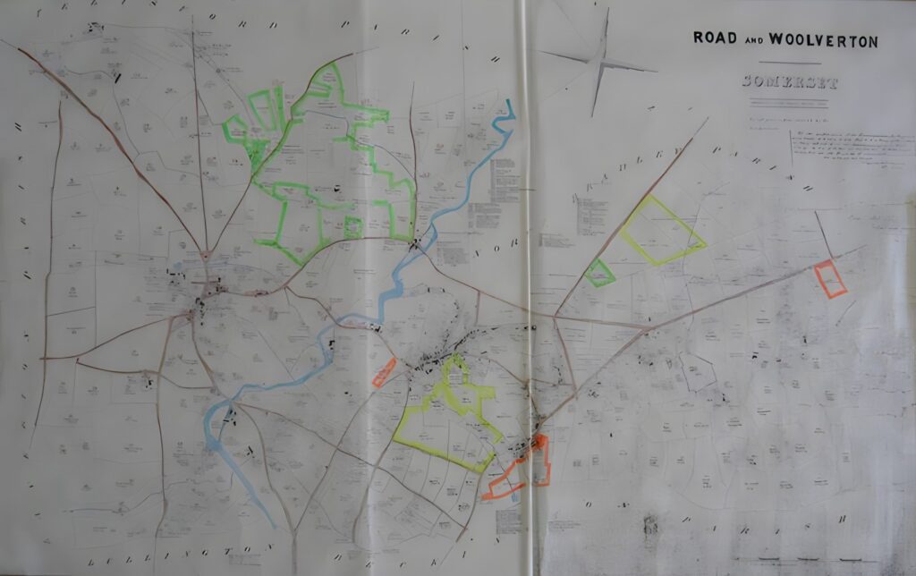
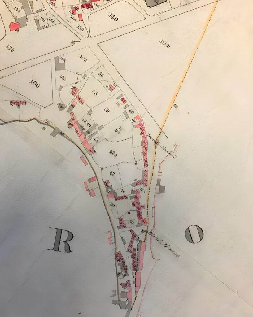
A collection of maps of Rode village down the ages: Above: Saxton’s Map, 1575 Above: Somerset map, 1610 Above: Rode Common enclosure map, 1792 Above: Rode Common enclosure map (detail) 1792 Above: Rode Hill survey map, 1806 Above: Andrews & Dury map of Wiltshire, 1810 Above: Ordnance Survey map of Somerset, 1817 Above: Rode tithe apportionment map, 1839 Above: Rode tithe apportionment map, 1843